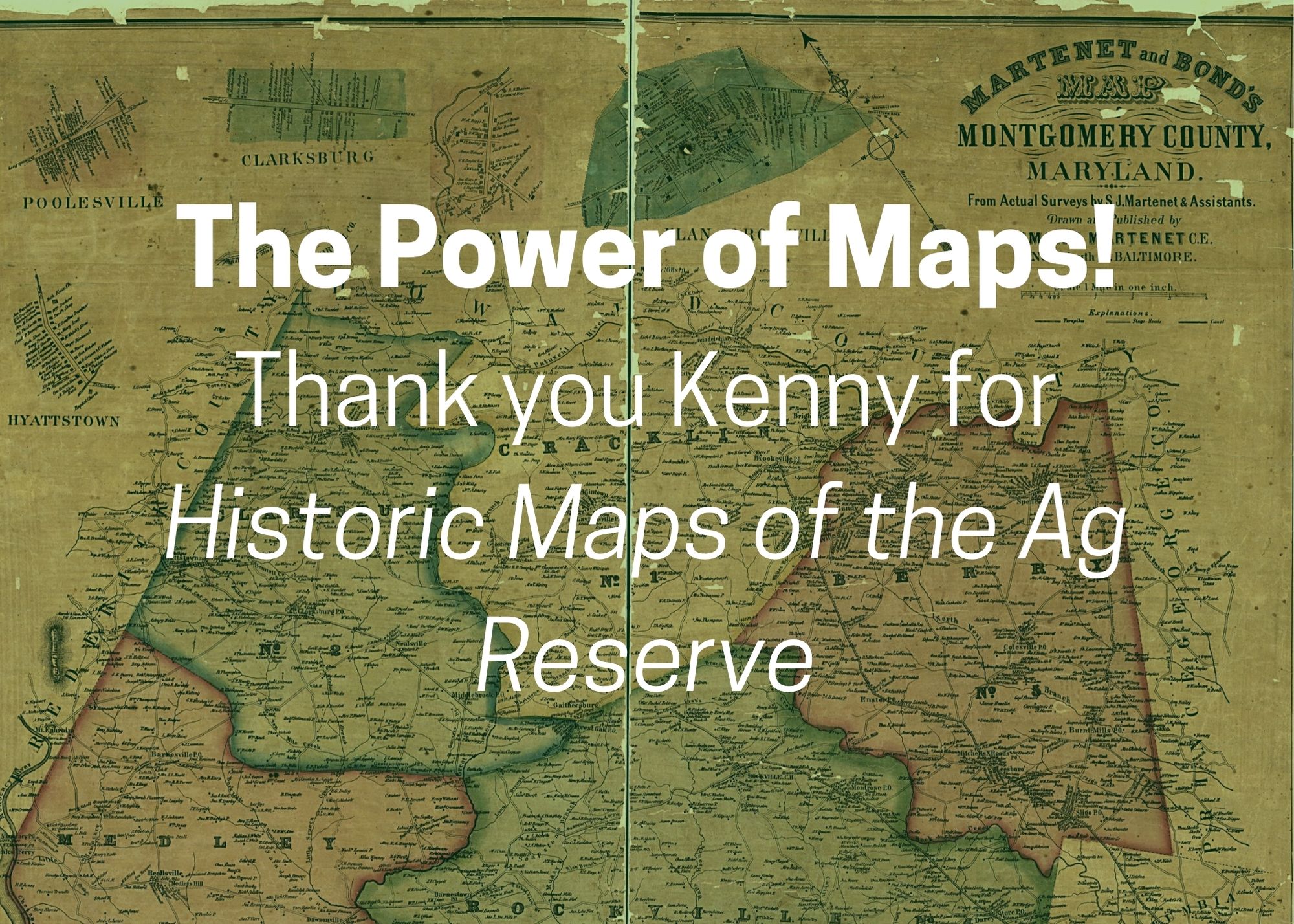
Thanks to Kenny Sholes for the journey through Poolesville history – map by map. Using aerial photos and old area maps dating to the 1800s, he solved the mystery of a lost property. Through a succession of aerial maps, Kenny traced the loss of a portion of River Road as it was reclaimed by nature. Kenny and his audience discussed sources for old land records and speculated on the number of homesteads and family cemeteries that may have been lost to the construction of the Dickerson generating station. Watch the full recorded event on Poolesville Seniors’ YouTube or Facebook.
A special Thank You to this events Gold Sponsor Jim Brown and Turning Point Real Estate


