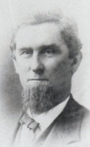
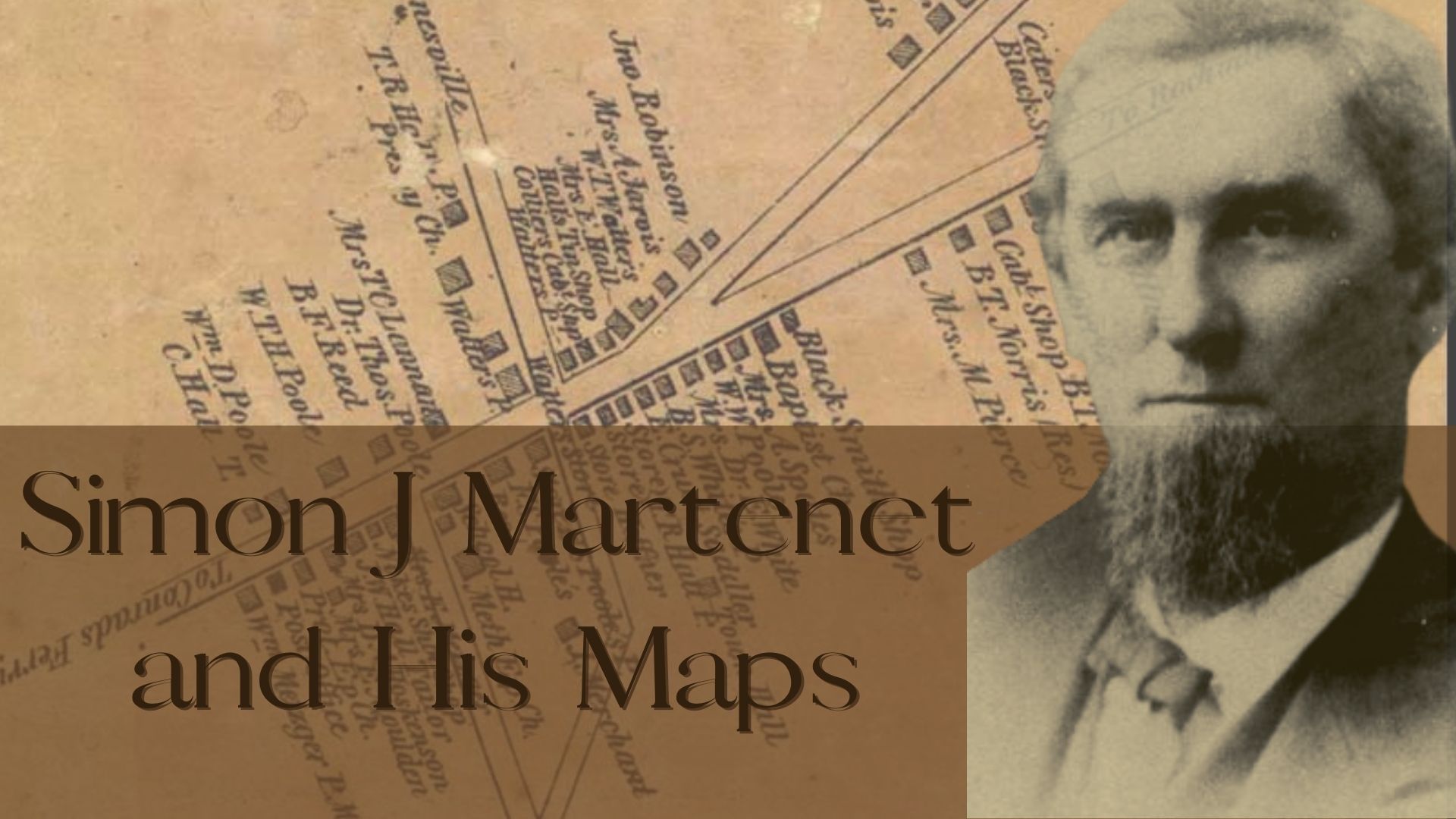
If you have ever done any historical research about Maryland, then you have likely encountered a Simon J. Martenet map. Martenet was born in 1832 in Baltimore to a German mother and a Swiss father. His father died when Martenet was four years old.
At an early age, Simon had to work after school. At seventeen he was working for Thomas P. Chiffelle, a West Point trained surveyor and civil engineer who operated a surveying business in Baltimore. Chiffelle was elected Baltimore City Surveyor from 1851 through 1854, when he left to take a civilian position with the 9th Infantry providing logistics support for the Quartermaster. Martenet assumed control of the business and became involved in Baltimore life. Martenet, a Lutheran, married Philena Fussell, a Quaker woman, in 1853 and had nine children. He was a member of the Militia Baltimore City Guards from 1853 to 1859. He was a member of the Ancient Order of Odd Fellows from 1853 to 1862, when he joined the Quaker Society of Friends. He was elected six times to the office of City Surveyor of Baltimore between 1867 and 1879.
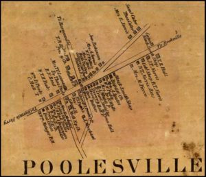
 The “Panic of 1857”, an economic downturn lasting several years, curtailed the company’s usual business of property surveys, topographic surveys, and new development layouts. With the livelihood of his growing family threatened, Martenet looked to broaden his sources of income by publishing local county and city maps. In 1858 the first Martenet map was released depicting Cecil County. The shrewd entrepreneur funded the venture and reduced his financial risk by soliciting subscriptions to the maps. The money was advanced to the firm by landowners or tenants who wished to guarantee that their house (and, more importantly, their name) appeared on the final product. Vanity was a powerful motivator. Some areas were more susceptible to that weakness than others. J.D. Rhodes, one of the surveyors measuring Montgomery County, noted on his original survey that Poolesville was a “shabby place, not one subscriber.” Some enterprising Martenet salesperson may have revisited Poolesville before the 1865 map was published since we see many historic Poolesville family names on that map.

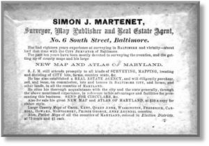
 Old print advertisements reveal a firm that made shrewd use of the information gained in their traditional services. The company became involved in many aspects of the real estate business. Martenet likely surveyed a Maryland tract for a Trust sale before buying it at auction for himself. In 1874, he developed it into streets, and lots for sale, and donated land for a park (Parkville Park Reservation). He later built a second home there in Parkville, MD. Martenet described the town as the healthiest and pleasantest location near Baltimore.
Martenet died of a stroke in Baltimore in 1892. After his death, his four principal assistants purchased the assets of the firm from his widow and continued the business. Maryland historians owe a great debt to Martenet and his ingenuity for the detailed historical information included on the maps that were his business sideline. SJ Martenet and Co. still exists in Baltimore as a Land Survey company, it has digitized its 175+ years of land data, and it still prints nine of their vintage maps.

