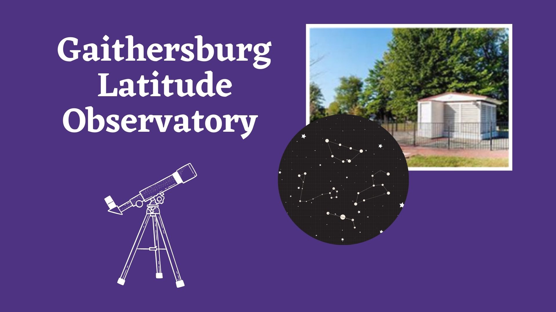
The Gaithersburg Latitude Observatory on Desellum Avenue near Gaithersburg High School, is one of six International Latitude Observatories that were built around the turn of the twentieth century to study the exact degree of the Earth’s wobble. From 1899 until it became obsolete in 1982 (with a gap between 1915 and 1932) nightly observations were recorded at the GLO along with those at the companion observatories in Ohio, California, Japan, Italy, and the Soviet Union (all of which occupy the same latitude of 39° 8’ N).
The earth wobbles slightly in its orbit, like a spinning top that draws ever-larger circles with its handle before it topples over. However, for our planet this process is extremely slow: the rotation axis completes one revolution (draws out one circle) every 26,000 years. The reason for this “precessional motion” can be traced back to the Earth’s shape.
It is not a perfect sphere, but rather something called an “oblate spheroid.” That means the Earth has a potbelly, a bulge wrapping around the equator, almost like a slightly flattened ball. This effect is itself a result of the Earth’s rotation, as the centrifugal force that pushes outward from the center is greatest in the equatorial region. The gravitational attractions from the sun and moon then push and pull on the bulge, causing the Earth to gradually tip over.
As a result, the positions of the stars in the sky change over very long periods of time. For instance, while Polaris is the current North Star (the star directly overhead when standing at the North Pole), Vega in the constellation Lyra will assume this position in 13,000 years.
By making precise, long-term measurements of the locations of certain stars in the sky, scientists were able to ascertain the rate of Earth’s precessional motion. Though the observations made in the 13 square foot observatory room were relatively simple ones, the research that took place at GLO and the other sister observatories was essential to establish a deeper understanding of the Earth’s rotation, size, and shape.
Astronomers frequently need to adjust coordinates obtained by prior observers in order to account for the Earth’s positional shift. And many more fields of science, from seismology and geodesy to climatology and space exploration, are also indebted to the observatory for its success in determining basic Earth properties.
The Gaithersburg observatory is a symbol of cooperation in the international scientific community through world wars, depressions, cold war, and changing social climates.
Although superseded by newer technologies, the wealth of data returned from Gaithersburg and the other five observatories is still used by scientists today to determine polar motion, the size, shape and physical properties of the earth, to predict climate and earthquakes, and to aid the space program through the precise navigational patterns of orbiting satellites. Hundreds of scientific papers and studies have cited the program’s findings. The Gaithersburg International Latitude Observatory played an integral role in advancing humankind’s awareness of its own planet Earth.
The observatory itself is now a National Historic Landmark, but there are several other points of interest on the property. They include the Meridian Mark Pier (a stone used to align the telescope), the brick caretaker’s house from 1947, as well as five Coast and Geodetic Survey monuments that establish the exact coordinates, elevation, and magnetic field direction at the site.
Zoom into our November 4th Planets & More Planets presentation by Professor Carrie Fitzgerald director of the modern Rockville Montgomery College Astronomical Observatory when she discusses searching the galaxy for alien worlds.

