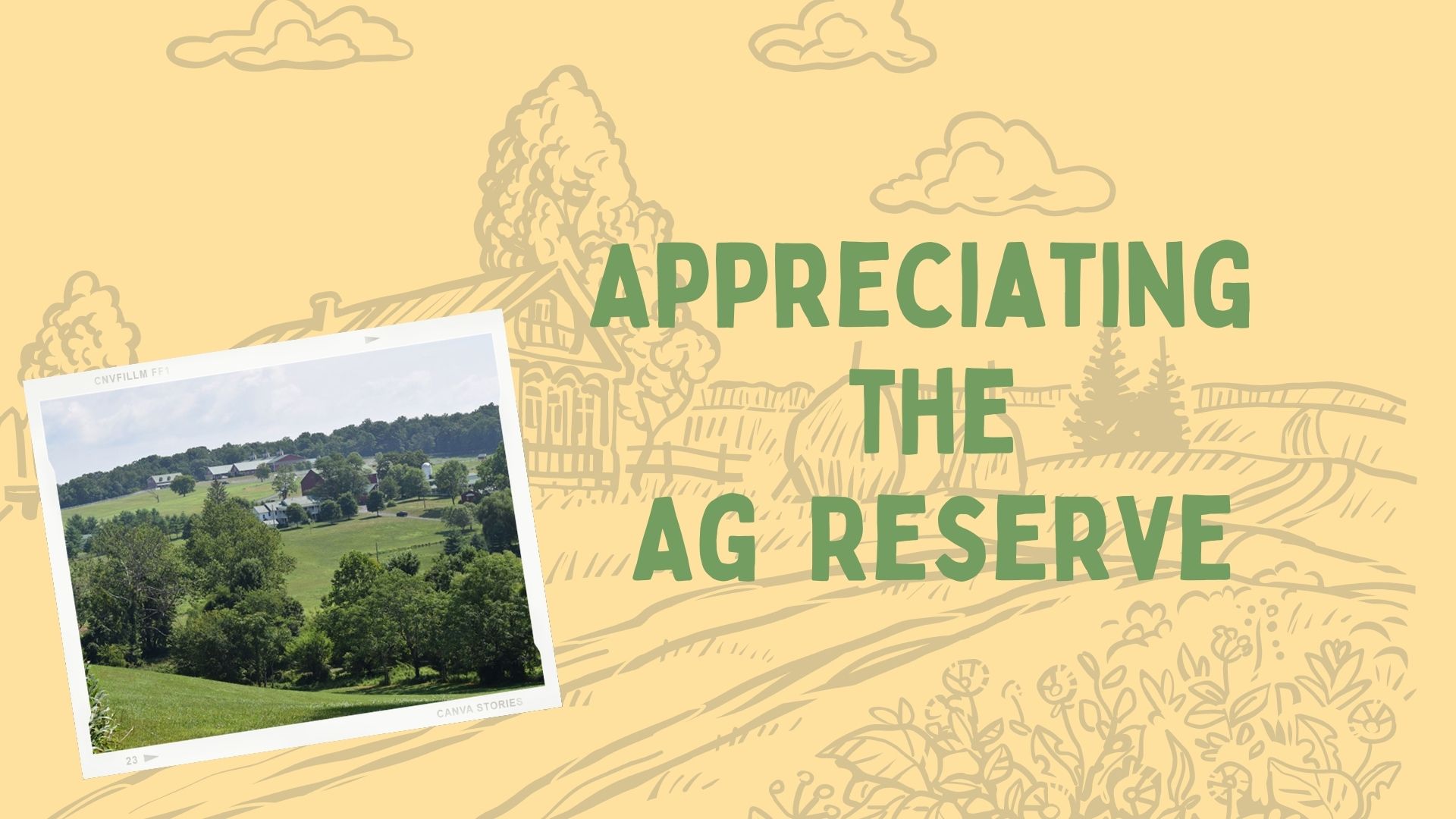
Everyone loves the rolling vistas and farm vignettes in the Poolesville vicinity. Bike the back roads; walk the trails; visit the farm markets; pick your own fruits and vegetables; enjoy the country! Did you realize that these bucolic settings have endured for your enjoyment due to forty years of planning, hard work and forethought by the Montgomery County Planning Board (a part of the Maryland National Park and Planning Commission –MNCPPC), and the Montgomery County Council?
As early as 1956 Maryland was trying to save this landscape of farms by granting special tax assessments to farmland. In the mid-60‘s, as farmland continued to disappear and the Washington suburbs expanded outward, the MNCPPC unveiled the Wedges and Corridors Plan. This General Plan concentrated growth along existing transportation and infrastructure corridors and preserved open space and farmland in the wedges between them.
In 1980, the Montgomery County Council adopted the Functional Master Plan for the Preservation of Agriculture and Rural Open Space in Montgomery County, which created our beloved Montgomery County Agricultural Reserve. This plan, one of the most acclaimed land conservation policies in the country, was a concerted effort to protect the vanishing farmland in Montgomery County. The innovative zoning, development limits, and equity compensation for landowners in the Reserve have been a prototype for other municipalities, making it the most emulated program of its kind in the U.S. (forty-two states have adopted similar policies).
In an area with such proximity to the nation’s capital, the Ag Reserve has not escaped challenges from development, or competing farm and energy use proposals. The landmark plans that preserved the area may soon be replaced with a new General Plan, Thrive 2050, which was scheduled for approval and transmittal to the County Executive and Council on April 8th. Only the constant informed vigilance and support of the communities and residents of the Ag Reserve will continue to preserve our treasure.
Here in Poolesville, we are ideally located in the middle of this 93,000-acre Ag Reserve and have the advantage of one of the highest rated high schools in the state, a great public library, and proximity to the C&O Canal Tow Path. We have a unique relationship with the Ag Reserve which affords the added opportunity to view:
- 558 farms employing 10,000 workers
- 34,526 acres of grain farms
- 375 livestock farming operations
- 10,000 horses
- 350 Horticultural businesses
- 70,000 acres of land protected from nonagricultural development
Read about the new plan for the Ag Reserve at:
https://montgomeryplanning.org/planning/master-plan-list/general-plans/thrive-montgomery-2050
For further statistics from our Ag Reserve see the Ag Facts Sheet at: https://www.montgomerycountymd.gov/agservices/Resources/Files/2017AGCensusMCFactSheetFINAL.pdf,
Or search Montgomery County Agricultural Reserve online or on YouTube

